Getting around the North Bay
Rail, ferries, buses and the two highways that hold the region together: how Marin, Sonoma, Napa and Solano counties move.
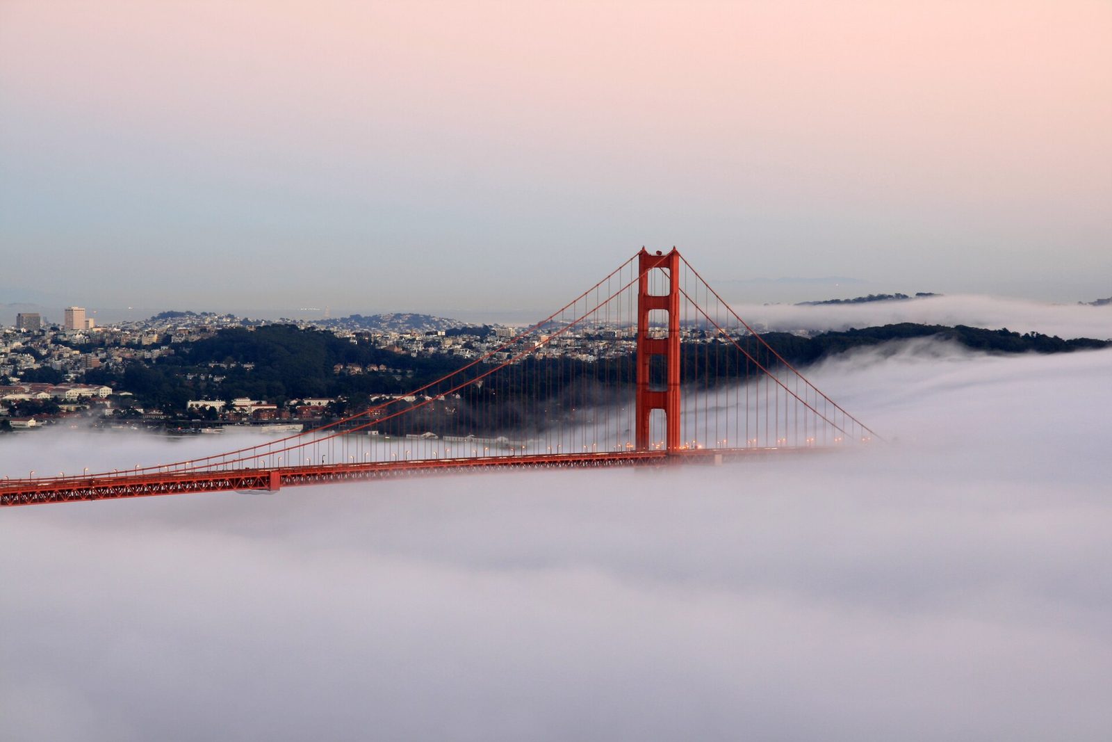
The North Bay moves on two highways, one rail line, and the bay itself. U.S. 101 is the north-south spine, running through Marin and Sonoma counties and crossing the Golden Gate Bridge into San Francisco. State Route 37 is the east-west link, connecting Solano County with Marin and Sonoma counties along the edge of the bay. Between the two highways sit a commuter train, three ferry terminals, and a patchwork of bus systems. Here is how the pieces fit.
SMART, the North Bay's train
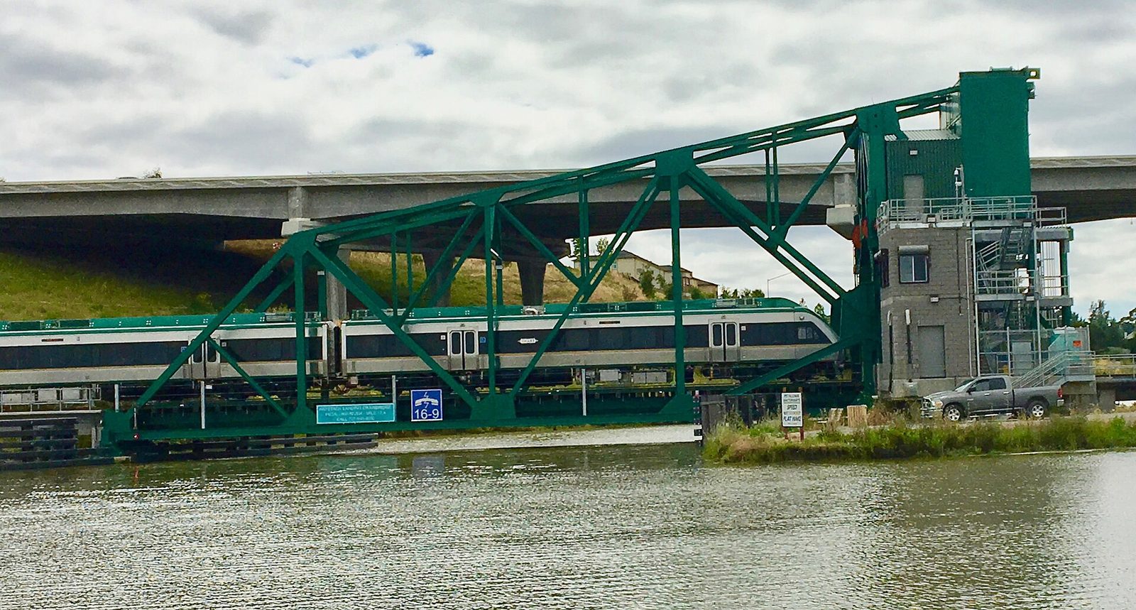
SMART, the Sonoma-Marin Area Rail Transit system, is the region's commuter rail, running through Sonoma and Marin counties. The system is funded by a dedicated sales tax, and voters extended the tax for another 30 years in 2026. The train connects the two counties' job centers to each other, and the Larkspur station feeds directly into the ferry terminal for the last leg to San Francisco.
The ferries
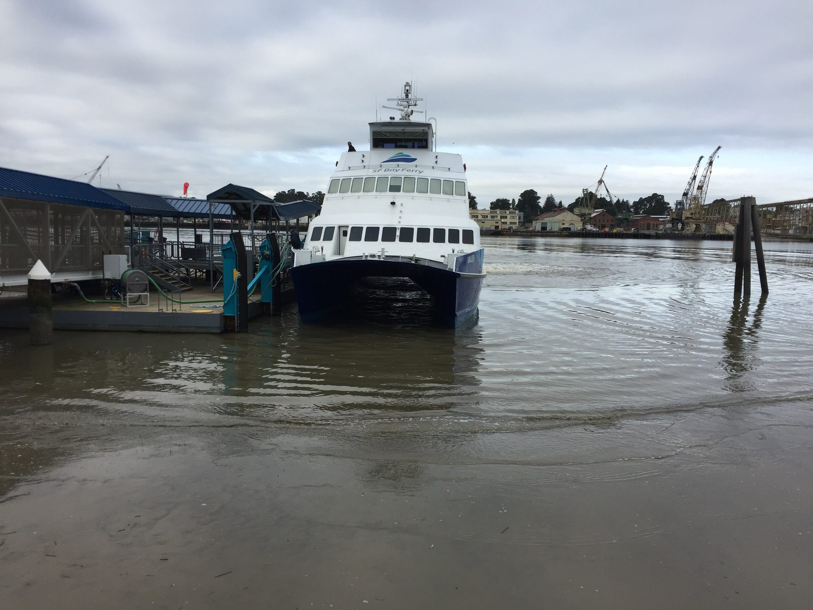
Three North Bay terminals run scheduled ferries to San Francisco. Golden Gate Ferry operates the Larkspur and Sausalito crossings in Marin County, with the Larkspur terminal timed to meet the SMART train. On the other side of the bay, San Francisco Bay Ferry runs the Vallejo crossing, the longest ride in the system and a lifeline for Solano County commuters. The water is the region's oldest transit corridor, and the ferries treat it that way.
The bus systems
Bus service is county by county. Golden Gate Transit covers Marin and much of Sonoma with regional routes into San Francisco. Napa County runs Vine Transit, and Solano County's system is SolTrans. The buses are the least glamorous part of the system and the most essential: they carry the riders the trains and ferries cannot reach.
Highway 37, the permanent project
State Route 37 deserves its own mention because it is the North Bay's most vulnerable highway. The east-west corridor floods, it jams every commute, and the state is working through an interim upgrade while the long-term future of the corridor is still unfunded. Every improvement to 37 is a negotiation between commute relief and the wetlands and bay edge the highway runs through.
The practical takeaway: learn the two corridors. If your trip goes north and south, it is 101 and the train. If it goes east and west, it is 37 and whatever the traffic report says. Everything else is a detail.