Smoke over Mount Tam starting Monday is a planned burn near Bon Tempe Reservoir
Marin County Fire and Marin Water may burn up to 25 acres at Lagunitas Meadow and Pine Point starting Monday, October 19. Three trails will close, Sky Oaks Road stays open, and residents are asked not to call 9-1-1 about smoke from the burn area.
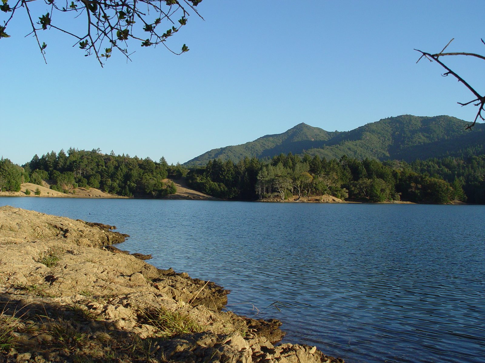
FAIRFAX: Smoke rising over the Mount Tamalpais Watershed this week may come from a planned fire, not a wildfire. Marin County Fire, working with Marin Water, may begin a prescribed burn on Monday, October 19, on watershed land near Bon Tempe Reservoir. The two agencies are asking people who see or smell smoke from the area to leave 9-1-1 lines open for real emergencies.
The burn is planned for Lagunitas Meadow and the Pine Point area beside the reservoir, along the Alex Forman Trail and the Pumpkin Ridge Trail, according to the county. It may cover up to 25 acres, and crews may keep working on additional days if that is what finishing the planned area takes.
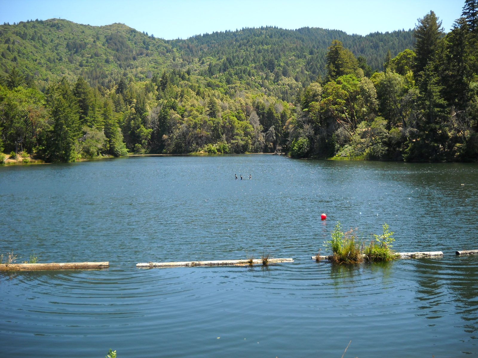
Nothing about the schedule is fixed. The county says the date and the acreage are both tentative, because a burn like this one goes ahead only when the weather, the condition of the fuel and the air quality all line up for a safe operation with limited smoke impacts on nearby communities. If fire behavior factors force a change of date, both agencies say they will post updates through their social media channels, including Facebook, X, Instagram and Nextdoor.
Three trails close while Sky Oaks Road stays open
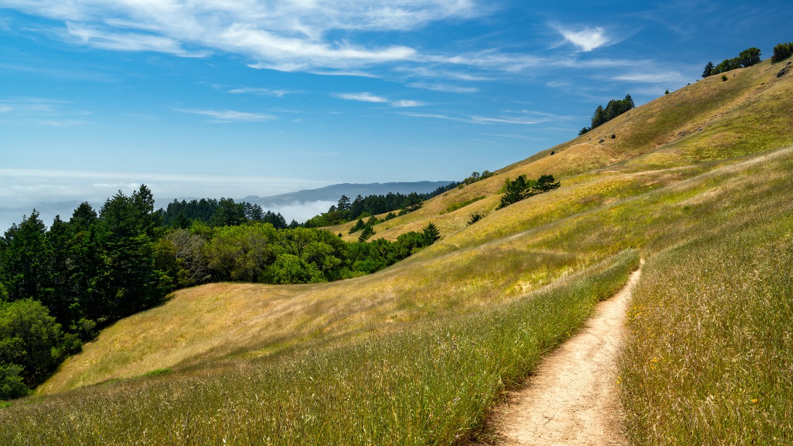
While the operation is under way, three trails will be closed: the Alex Forman Trail where it crosses the interior of Pine Point, the Pumpkin Ridge Trail between Fish Grade and Redwood Turn, and the Pine Point Trail. Visitors are required to obey the closure signs, the county says.
Sky Oaks Road, the watershed entrance road west of Fairfax, will remain open. Drivers may still meet short delays there from smoke or from temporary lane closures while fire engines patrol the edge of the burn. Marin County firefighters will carry out the burning itself, and patrols and mop-up work will continue for at least several hours after each day of burning ends.
Residents who want word of burns like this one in advance can opt in to text notices. The county says an SMS message will go to AlertMarin subscribers who have chosen to receive prescribed burn notices, a setting that can be changed through the county emergency portal at Emergency.MarinCounty.gov by logging in to an AlertMarin account and selecting "Prescribed Burns."
The latest round of fuel work on the watershed
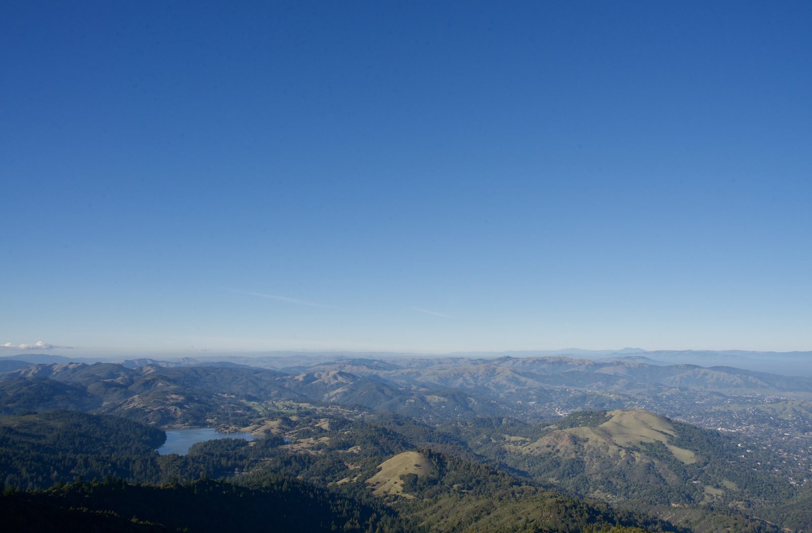
Marin Water manages the watershed lands where the burn will take place, and the operation is part of a continuing effort to finish vegetation management work on the mountain, according to the county. The agencies describe prescribed fire as a fuel management tool, a way to reduce the vegetation that could carry a wildfire while supporting a more resilient and ecologically healthy forest and watershed.
Crews were in the same country less than two months ago. In late August, the county announced two burns in the watershed near Bon Tempe Reservoir, the first south of the Sky Oaks Ranger Station at up to 79 acres and a second in the Pine Point area at up to 44 acres. The operation announced for this week returns to Pine Point at a smaller scale, up to 25 acres across the meadow and the point.
The burn will be run under the requirements of the Bay Area Air Quality Management District, the county says, and it is planned against criteria for ecological benefit, weather, smoke management and fire safety. Even with those controls, the surrounding community may see or smell smoke while the work is under way, which is why the county is repeating the request it made in August: do not call 9-1-1 to report smoke from the burn area, so dispatchers stay available for emergencies.
None to date. The Tribune corrects errors promptly and transparently. Read our corrections policy.